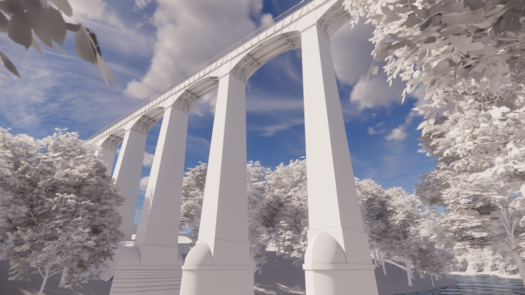
Stunning 3D Laser Scan Survey of Pontcysyllte Aqueduct
Point 2 have completed a stunning laser scan survey and detailed 3D Revit model of the Pontcysyllte Aqueduct in Wales, a Grade I listed building and a World Heritage Site
The navigable aqueduct carries the Llangollen Canal across the River Dee in the Vale of Llangollen in north east Wales The 18-arched stone and cast iron structure was built for use by narrowboats and was completed in 1805 having taken ten years to design and build It is the longest aqueduct in the UK and the highest canal aqueduct in the world
The aqueduct was surveyed by Point 2’s Measured Survey teams using both Leica P40 and P50 laser scanners from numerous setups both on the Aqueduct footpath and around the surrounding land The survey data, once processed in Leica Cyclone, enabled us to generate a precise and comprehensive point cloud to use as the base information from which to construct the model
A highly detailed 3D model was created by Point 2’s in-house BIM team This included the modelling of all structural elements, balustrades, bolts and fixings All elements within the model are intelligent Revit families with no ‘model in place’ used A BlueSky model was then incorporated into the surrounding context


